2023 Vol. 43, No. 6

Display Method:
Review
Spatial Observation and Assessment of Sustainable Development Goals
CHEN Fang, JIA Huicong, WANG Lei
2023, 43(6): 973-985. doi: 10.11728/cjss2023.06.2023-0108
Abstract:
Since 2015, the United Nations has reached the halfway point in implementing the 2030 agenda for sustainable development. During this period, progress on the Sustainable Development Goals (SDGs) faced challenges. In order to chart a course for future sustainable development, it’s essential for the worldwide community to learn from the experiences and lessons of the initial phase of the 2030 agenda, strengthening the implementation of the SDGs in the second phase. The lack of timely and accurate data remains a weak point in responding to both long and short-term issues and is a bottleneck in the implementation and monitoring of the SDGs and the development of science-based decision-making. Spatial observations, as a representative digital technology, can play an important role in bridging the gap between current statistical data and spatiotemporal information of the SDGs. This paper introduces important advances and existing issues in spatial observation techniques in the monitoring and evaluation of the seven sustainable development goals. Finally, the construction of SDGs spatial observation system, sharing and application of spatial observation data, and SDGs monitoring and evaluation methods are discussed.
Progress in Spaceborne Passive Microwave Remote Sensing Technology and Its Application
WANG Zhenzhan, WANG Wenyu, TONG Xiaolin, ZHANG Zhou, LIU Jingyi, LU Hao, DING Jia, WU Yanting
2023, 43(6): 986-1015. doi: 10.11728/cjss2023.06.yg15
Abstract:
Spaceborne passive microwave sensor is a kind of remote sensing that uses high-sensitivity receivers to detect natural microwave radiation from scenes and targets. Passive microwave remote sensor also refers to microwave radiometer. Microwave radiometers have been used for remote sensing of the Earth from space for more than fifty years. At present, microwave radiometers have become the main payload of meteorological and oceanographic satellites, playing an important role in numerical weather prediction, marine environment monitoring and global climate change research. This article analyzes and summarizes the following points. Firstly, passive microwave remote sensing technology and its application development. Secondly, the development trend of passive microwave remote sensing technology and its key technical issues. Thirdly, for the quantitative application of passive microwave remote sensing in China, some thoughts and suggestions are put forward in terms of product and data processing procedures, as well as standardization on algorithm for deriving different level products, calibration/validation of brightness temperature and geophysical parameters. The contents of this article aim at promoting much wider application of passive microwave remote sensing data and maximizing the application efficiency of passive microwave remote sensing technology.
Perspectives of Transmission and Traceability of Space Microwave Radiometric Benchmark
HE Jieying, DONG Xiaolong, LU Naimeng
2023, 43(6): 1016-1024. doi: 10.11728/cjss2023.06.yg17
Abstract:
Space microwave radiometric benchmarks are demanding for global climate change research and accurate weather forecasting. Given the complicated transfer chain, the microwave radiometric benchmarks have not yet been established. In order to improve the accuracy and stability of satellite remote sensing, this project proposes top-level designed technical solutions for precise and traceable space microwave radiation in a forward perspective. The calibration benchmark sensors enable the development of the theory, method, and model of space microwave radiometric benchmarks. The traceability of microwave radiometric benchmarks in the transfer chain is integrated and assessed. To establish the evaluation system for the traceability of space radiation, a physical transfer chain of microwave radiometric benchmarks is realized and the simulation errors of the microwave system are addressed. By providing a unified reference for space microwave radiation measurement, this project is expected to provide highly precise, highly stable, and traceable capability of space microwave sounding, and enhance the core competitiveness of China.
Prospects for Microwave Atmospheric Sounding of the New Generation of Fengyun Meteorological Satellites
HE Jieying, ZHANG Shengwei, WANG Zhenzhan, ZHANG Yu
2023, 43(6): 1025-1035. doi: 10.11728/cjss2023.06.yg16
Abstract:
The development history of microwave humidity sounder for three batches of polar-orbiting meteorological satellites of Fengyun-3 (FY-3) and the technological breakthroughs and development progress made are introduced, covering the realization of key technologies and the design of key technological indexes and testing and evaluation, as well as the scientific applications in numerical weather prediction, typhoon and rainstorm and other catastrophic weather prediction and monitoring, etc., and the upgrading of the technology of satellite-mounted passive microwave atmospheric sounding is elaborated. Based on the current status and development trend of microwave atmospheric detection research at home and abroad, it focuses on the potential of microwave atmospheric detection by polar-orbiting meteorological satellites in terms of meteorological parameter detection capability, detection accuracy, temporal and spatial resolution, and application effectiveness. In view of the 2040 vision plan of the World Meteorological Organization (WMO) and the new generation of polar-orbiting meteorological satellites of Fengyun-5 of China, a new high-performance microwave atmospheric integrated detection system with trans-representative signatures – hyperspectral microwave atmospheric detector – is proposed, and the technical way of on-orbit quantitative enhancement and the application prospect are briefly described. It also briefly describes the technical way and application prospect of quantitative enhancement in orbit, laying a foundation for the development of microwave atmospheric detection payload for Fengyun-5 meteorological satellite.
Advance in Ocean Satellite Radar Altimetry Technology
XU Ke, JIANG Maofei
2023, 43(6): 1036-1057. doi: 10.11728/cjss2023.06.2023-06-yg14
Abstract:
Radar altimeter is an active microwave remote sensor, which is able to provide global Sea Surface Height (SSH), Significant Wave Height (SWH) and sea surface wind speed measurements. Radar altimetry data can be further used for study of ocean dynamics, sea surface topography, marine gravity anomalies, seafloor topography, global and regional sea level changes, etc. After decades of development, satellite radar altimetry has made great progress, from instrument design, data processing to application. Up to now, more than 20 radar altimetry satellites have been launched in the world. Radar altimetry data can be used not only for oceanographic research, but also widely used for inland water level changes, sea ice thickness changes, glacier mass balance and abnormal climate impacts. This paper mainly analyzes the basic principles, current development status and typical applications of satellite radar altimetry technology, and presents the prospects for future development.
Satellite Remote Sensing of Total Suspended Matter Concentration in Hangzhou Bay and Its Adjacent Waters
YE Xiaomin, WANG Xiaomei, ZOU Bin, WANG Futao
2023, 43(6): 1058-1068. doi: 10.11728/cjss2023.06.2023-0099
Abstract:
The Total Suspended Matter (TSM) in the coastal water area and sea bays is one of the important water quality parameters, and Hangzhou Bay and its adjacent waters are typical gulfs and offshore waters with close relationships with humans. Satellite remote sensing is widely used for monitoring and analyzing the concentration of total suspended matter in seawater. Satellite remote sensing retrieval models of TSM concentration for Chinese Ocean Color and Temperature Scanner (COCTS) on the HY-1C and HY-1D satellites and other typical ocean color remote sensors currently in orbit in Hangzhou Bay and its adjacent waters were developed using in-situ measured data. The average relative errors of the models are not greater than 19%. TSM concentration in Hangzhou Bay and adjacent waters from 2015 to 2022 was retrieved and merged from multi-source satellite data including HY-1C/D. The merged products in this study have been validated against in-situ measured data with the linear correlation coefficient of 0.72 and an average relative error of 26%. The results indicate that the inter-annual variation of the TSM concentration in Hangzhou Bay and its adjacent waters is not significant in the period from January 2015 to December 2022, and its linear variation does not exceed 0.5% of its annual average concentration value. The results of the study indicate that the TSM concentration and its temporal and spatially variation characteristics in Hangzhou Bay and its adjacent waters can be effectively retrieved from space broad ocean color remote sensing payloads including COCTS on the HY-1C/D satellites.
Analysing Interannual Variation of Changjiang Diluted Water Spreading and Its Influencing Factors Based on Remote Sensing Observations
HU Jingwen, WANG Qixiang, GUO Zhiqian, LIU Xiaoyan, WU Zhihong, DONG Wenlong, TIAN Lin
2023, 43(6): 1069-1080. doi: 10.11728/cjss2023.06.2023-0059
Abstract:
Expansion of the Changjiang Diluted Water (CDW) to the outer sea has a significant impact on the hydrobiological environment and material cycle in the Yellow Sea and the East China Sea. Based on 17 years of satellite fusion data from 1998 to 2014, this paper studies the inter-annual variations of the CDW spreading to the outer sea in summer, analyzes the influences of runoff and wind field on these changes. The result shows that the expansion path is mainly divided into three types: northeast-north type, northeast type and occasional type, in which northeast type is in the majority. The eastern boundary of the CDW expansion appears obviously inter-annual variations, and it mainly distributes in the range of 123°E to 126°E. The inter-annual variation of the expansion process is mainly reflected in the changes of expansion path and the distance of eastern expansion from July to August. The amount of runoff plays an important role in the distance of CDW expansion to the outer sea. When the runoff is large, the diluted water expands farther eastward, while when the runoff is small, the diluted water is limited near the Yangtze River estuary. The diversity of expansion process is obviously affected by wind direction. Southeast wind and east wind promote the expansion of diluted water in the northeast direction, and prevent the expansion in the southeast direction to some extent. Northeast wind prevents the expansion to the outer sea, forcing the diluted water staying near the Yangtze River estuary.
Research Articles
Calculation of Spaceborne SAR Image Heading and Its Impact on Wind Speed Retrieval
LI Huimin, HU Denghui, LIN Wenming, WANG Chen, HE Yijun
2023, 43(6): 1081-1090. doi: 10.11728/cjss2023.06.2023-0077
Abstract:
The spaceborne Synthetic Aperture Radar (SAR) is a broadly acknowledged technique to monitor the vast open ocean. However, a frequent confusion between the SAR image azimuth angle $ {\phi }_{\mathrm{I}\mathrm{M}\mathrm{G}} $ and the satellite flight direction $ {\phi }_{\mathrm{S}\mathrm{A}\mathrm{T}} $ exists in the data processing and geophysical applications, which influences for instance the accuracy of SAR wind inversions. An overview of $ {\phi }_{\mathrm{I}\mathrm{M}\mathrm{G}} $ derivation from the transformation of the spatial satellite coordinate systems is presented in this paper, along with a method for calculating $ {\phi }_{\mathrm{I}\mathrm{M}\mathrm{G}} $ based on the Ground Control Points (GCP). By analyzing a set of 0.7 million Sentinel-1 SAR wave mode images acquired in 2016, we quantify the systematic bias between $ {\phi }_{\mathrm{I}\mathrm{M}\mathrm{G}} $ and $ {\phi }_{\mathrm{S}\mathrm{A}\mathrm{T}} $ and find out that this bias is related to the incidence angle and orbital direction. It can be accurately fitted using a fifth-order polynomial relative to latitude. The misuse of $ {\phi }_{\mathrm{S}\mathrm{A}\mathrm{T}} $ is demonstrated to approximate $ {\phi }_{\mathrm{I}\mathrm{M}\mathrm{G}} $ can lead to nonnegligible wind retrieval errors. The spatial distribution of this wind error is non-uniform and differs between ascending and descending orbits, with a wind speed bias of ±0.5 m·s–1. Results obtained in this study evidence that the precise estimate of $ {\phi }_{\mathrm{I}\mathrm{M}\mathrm{G}} $ are significant to various SAR applications in relevant studies. The proposed method here also holds practical reference for other satellite SAR missions.
Oceanic Front Detection Model Based on U-Net Network
REN Shihe, HAN Yanhong, LI Jingshi, ZHAO Yaming, KUANG Xiaodi, WU Xiangyu, YANG Xiaofeng
2023, 43(6): 1091-1099. doi: 10.11728/cjss2023.06.2023-0097
Abstract:
As a  boundary  of two water masses with different properties, oceanic fronts have important influences on many fields such as fishery, marine military and environmental protection. How to quickly and accurately implement automatic detection and identification of ocean front is of great scientific significance for ocean monitoring and forecasting. In this paper, the deep learning image segmentation network is combined with the method of extracting frontal features, and the detection models of frontal area and frontal line are established by using U-Net architecture. Meanwhile, the residual unit is used to improve the feature extraction network in the processes of encoding and decoding. The results show that the deep learning frontal detection model can accurately extract the features of frontal area and frontal line. The Dice coefficients reach 0.92 and 0.97 respectively, achieving a good detection performance. In this paper, the model is trained by the sample data of different frontal thresholds. The comparison results show that the accuracy of model is significantly improved after the threshold of  sample set is reduced.
Comparisons of SFMR and Satellite Microwave Remote Sensed Sea Surface Wind Speed in Hurricane Weather
ZHONG Junjie, WANG Zhixiong, ZOU Juhong, LIN Wenming
2023, 43(6): 1100-1110. doi: 10.11728/cjss2023.06.2023-0062
Abstract:
The accuracy and consistency of sea surface wind speed measurements during hurricane conditions have garnered significant attention. Among the various techniques, the Stepping Frequency Microwave Radiometer (SFMR) provides crucial in-situ data on sea surface high wind speeds. This study aims to compare wind speed measurements obtained from SFMR with those from space-borne microwave scatterometers such as the C-band European MetOp series satellite Scatterometer ASCAT, the Ku-band China-France Oceanography Satellite (CFOSAT) Scatterometer CSCAT, and the Chinese HY-2 series satellite Scatterometer HSCAT, as well as microwave radiometers such as SMAP and SMOS. We establish the relationship between SFMR wind speed and spatial scale and propose a spatio-temporal matching method to align SFMR data with scatterometer and radiometer data. This method assumes that the spatial distribution of TC wind field is unchanged relative to the hurricane direction in a certain time range. According to the TC center path information of IBTrACS, the trajectory of SFMR is transformed into the relative coordinates of storm movement, which effectively extending the matching time difference between SFMR, scatterometer and radiometer sea surface wind speed data to 3 hours. Our findings indicate that radiometer measurements of high wind speeds (>15 m·s–1) exhibit greater consistency with SFMR compared to scatterometer measurements, and Ku-band scatterometer measurements tend to saturate when wind speeds exceed 25 m·s–1. The spatio-temporal matching results of SMAP and HSCAT also showed the same distribution characteristics. However, the ASCAT wind speed of C-band scatterometer still shows the overall increasing distribution characteristics. Additionally, Rainfall during high wind conditions significantly affects scatterometer wind speed error is still observed by us, although the error associated with wind speed is more pronounced. This study contributes to a better understanding of the error characteristics of sea surface wind speed measurements obtained from space-borne microwave scatterometers and radiometers, thereby offering valuable insights for the application of remote sensing data, subsequent research can analyze the contribution of different data sources in the physical meaning of wind speed to the consistency analysis results.
Comparisons on One-dimensional Ocean Wave Spectrum Models Based on SWIM/CFOSAT Observations
WANG Yihui, XU Xingou, XU Ying
2023, 43(6): 1111-1124. doi: 10.11728/cjss2023.06.2023-0068
Abstract:
The ocean wave spectrum models not only characterize the rough sea surface but also reveal the internal energy distribution of waves with wave numbers and directions, providing information for air-sea interaction research and ocean exploration applications. The Surface Waves Investigation and Monitoring instrument (SWIM) onboard the China France Oceanography Satellite (CFOSAT) can obtain spatial observations of global ocean wave directional spectra. In this research, the status of existing wave spectrum models and observations were summarized, then the statistical characteristics of wave parameters observed by SWIM are analyzed. To investigate the specific performance of the Apel spectrum, Elfouhaily spectrum, and Goda spectrum model in different sea states, the sea states are labelled in different categories according to the well-applied wave field characterization features. Then the measured ocean wave spectra within the range of wave numbers (0.01~0.25 rad·m–1) under different sea states were compared with the height and curvature spectra in the spectrum models under different sea states. The differences between the existing wave observations and the above three spectra are quantified and combined in their statistical characteristics in terms of the ocean wave parameters. The results indicate that when the inverse wave age is less than 0.8, the Goda wave height spectrum and Elfouhaily curvature spectrum are the closest in terms of the wave height spectrum and curvature spectrum to SWIM observations respectively. When the inverse wave age is between 0.8 and 0.9, the Apel wave height spectrum and curvature spectrum are most closely aligned with the measured data from SWIM. When the inverse wave age is between 0.9 and 1.0, the Goda wave height spectrum and Apel curvature spectrum are most closely matched with the wave height spectrum and curvature spectrum from the SWIM product respectively. Conclusions are drawn that the reasons for the differences between SWIM observations and existing models mentioned above are due to their conditional assumptions and incomplete expression of the sea states, while in the natural sea environment, these assumptions hold but for quite a limited fraction. The result supports the follow-up research of wave spectrum model and observation applications.
Spatio-temporal Distribution Characteristics of Arctic Ice Eddies Based on SAR Satellite Observations
FANG Chao, WANG Sheng, LIU Guihong, DU Yanlei, ZHAO Yaming, YU Yang, YANG Xiaofeng
2023, 43(6): 1125-1134. doi: 10.11728/cjss2023.06.2023-0088
Abstract:
The complex interaction between cold and warm ocean currents in the Arctic Ocean creates favorable conditions for the formation and growth of eddies. In the marginal ice zone of the Arctic, some of the upper ice floes, resulting in the formation of distinctive rotational features. These features, which contain traces of ice floes, are referred to as “ice eddies” in this paper. Ice eddies accelerate the melting of the upper ice floes through vertical heat transfer, which affects the development of the marginal ice zone and indirectly regulates the global climate. In this paper, a study is conducted on the detection, identification, and spatial and temporal characterization of Arctic ice eddies using high-resolution Synthetic Aperture Radar (SAR) satellite images of 2022. Firstly, a training dataset is constructed using preprocessed SAR images, and the YOLOv7 target detection model is used to train the model. Then, the process of human-supervised visual identification is conducted based on the results of detection and identification, resulting in the identification of a total of 3615 cyclonic ice eddies and 1482 anticyclonic ice eddies. Finally, the ice eddies are characterized using the visual identification results mentioned above. The statistical results show that ice eddies in the Arctic Ocean are primarily generated from July to November. Their spatial distribution is concentrated along the eastern coast of Greenland and in the north-central Greenland Sea. The diameters of the ice eddies range from 3.85 to 114.9 km. 99% of the eddies are smaller than 60 km, with an average diameter of 21.2 km. 97% of the eddies have sea-ice coverage ranging from 20% to 70%, with an average sea-ice coverage of 41.76%. The results of the ice eddies detection, identification, and spatial and temporal characterization in this paper provide valuable methodological references and remote sensing analysis information for analyzing marine phenomena and conducting climate research in the Arctic region.
Toward Optimization of Key Parameters in Noah-MP Surface Albedo Using Satellite Remote Sensing Products
CHEN Jinyan, ZHAO Long, YANG Kun, TIAN Jiaxin, PAN Jinmei, ZHANG Ke
2023, 43(6): 1135-1149. doi: 10.11728/cjss2023.06.2023-0086
Abstract:
Surface albedo is a key factor affecting land-air interactions. The accurate estimate of surface albedo is of great value for improving land model’s capability in hydrothermal simulation. In the Noah-MP (the Noah land surface model with multiple parameterizations) land surface model, estimation of soil albedo mainly relies on a look-up table-based method that characterize the albedo of different soil types with the so-called soil color. However, the soil color has not yet been calibrated at the regional or global scale, which greatly hinders the regional albedo simulation. In addition, the calculation of bare soil albedo is highly sensitive to surface soil moisture. To this end, this study first produces an ensemble of albedo time series with regard to different soil types with data assimilation generated soil moisture as input. Then, the optimal 0.25° soil color for the Tibetan Plateau region were screened by referring MODIS albedo and excluding the impacts from dense vegetation and snow cover. The evaluation results show that the spatial distribution of optimized soil color can reasonably reflect the relationship between soil texture and albedo, and improved Noah-MP albedo estimation in over 70% of the grid cells in the study area.
Spatio-temporal Changes in Surface Net Radiation in the Qinghai-Tibet Plateau from 2000 to 2021
CUI Yuxiang, HUSI Letu, LI Tongwen, JI Dabin, ZHANG Hao, SHI Jiancheng
2023, 43(6): 1150-1159. doi: 10.11728/cjss2023.06.2023-0080
Abstract:
Based on the SYN1 deg-Level 3 radiation product from the CERES satellite spanning from March 2000 to February 2022, The Theil-Sen Median trend analysis, Mann-Kendall test, and EOF analysis were combined to investigate the spatiotemporal patterns of surface net radiation on the Qinghai-Tibet Plateau over the past 22 years. The study found that in terms of spatial distribution characteristics, the surface net radiation in the Qinghai-Tibet Plateau exhibits a general pattern of higher values in the southern region and lower values in the northern region. The variation trend of surface net radiation shows a high degree of consistency, but the fluctuation amplitude of it in the southern region of the Qinghai-Tibet Plateau is much higher than that in the northern region of the Qinghai-Tibet Plateau. Regarding to the temporal evolution, the surface net radiation displayed quasi-sinusoidal oscillations with a noticeable annual periodicity. Notably, there was a sudden decrease of approximately 5.52 W·m–2 in the period from 2016 to 2017. Concurrently, there was an increase of about 18.75% in the cloud area fraction during the same period.
Retrieval methods for Tree Leaf Area Parameters Based on Terrestrial Laser Scanning
HU Ronghai, XING Yuzhen
2023, 43(6): 1160-1175. doi: 10.11728/cjss2023.06.2023-0078
Abstract:
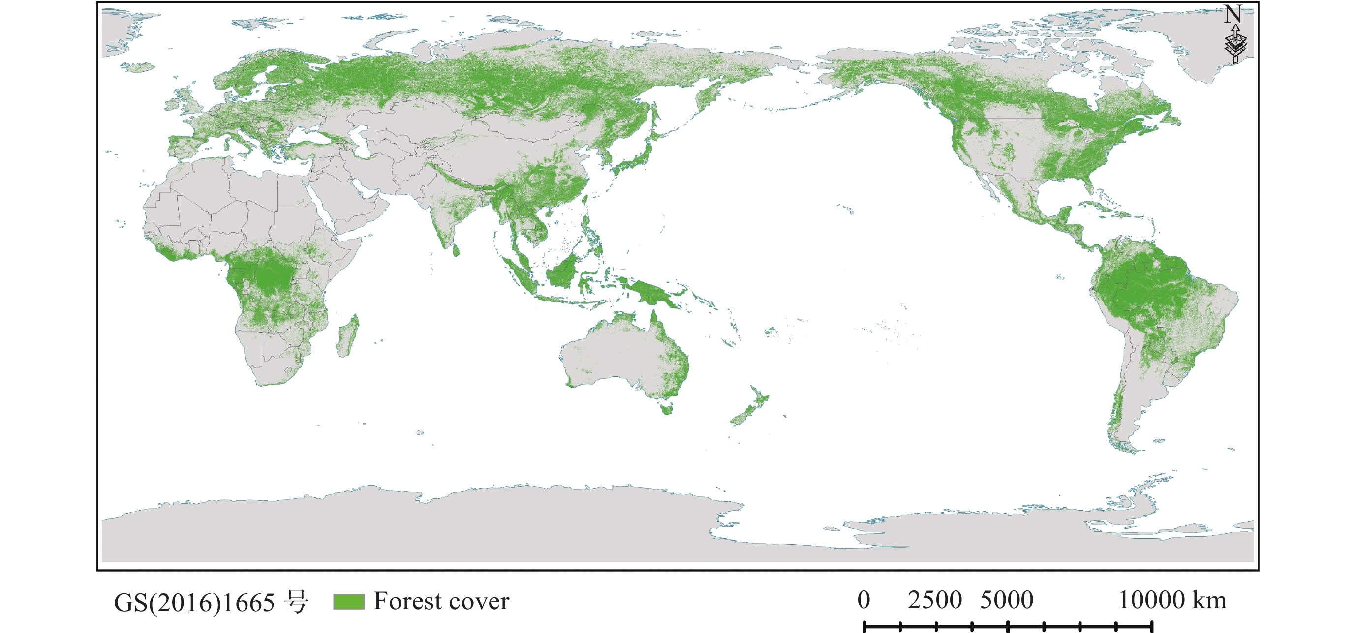
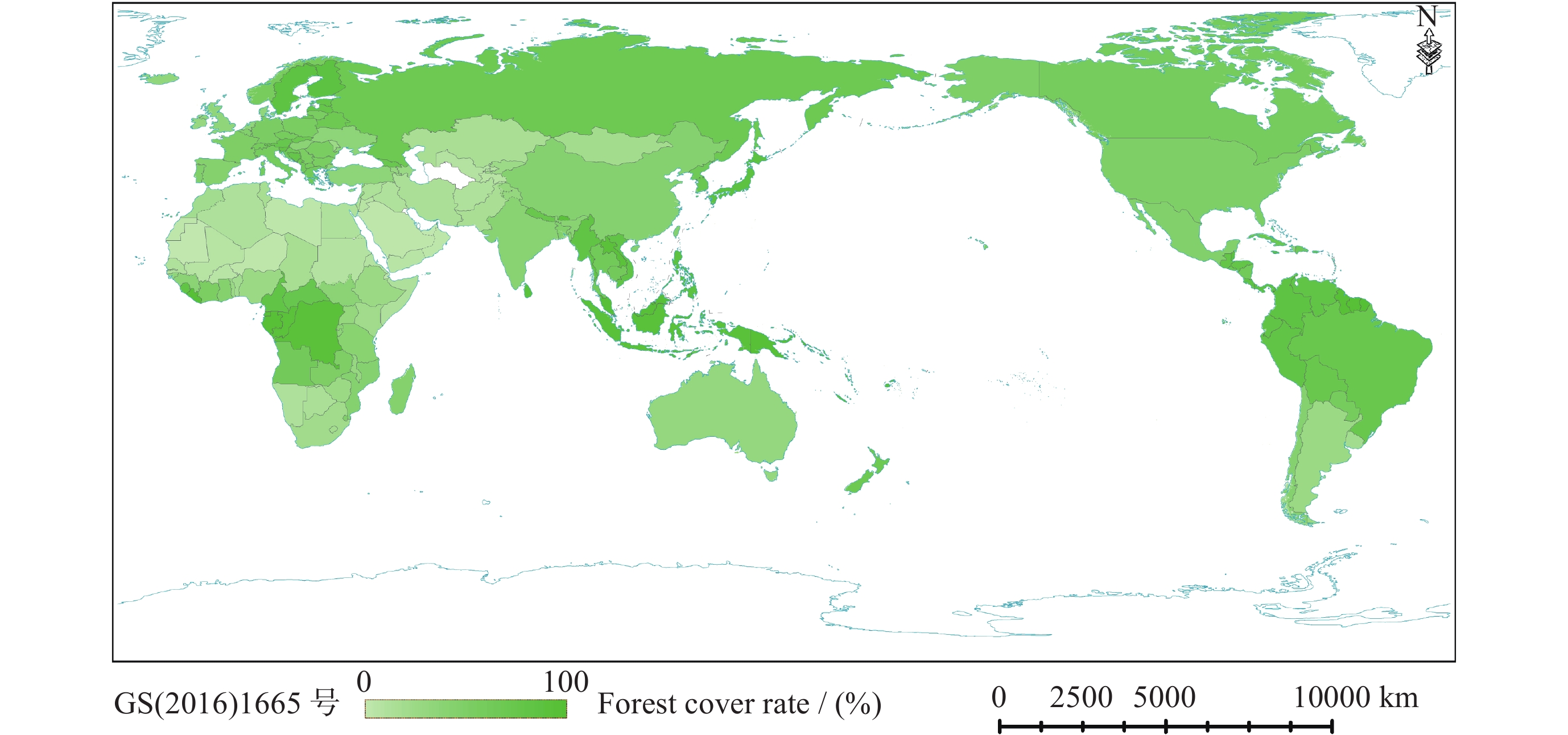
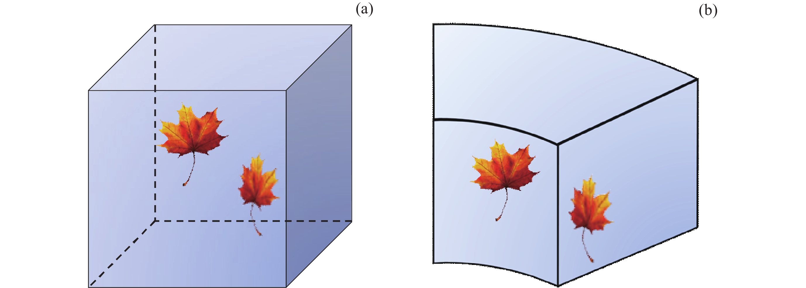
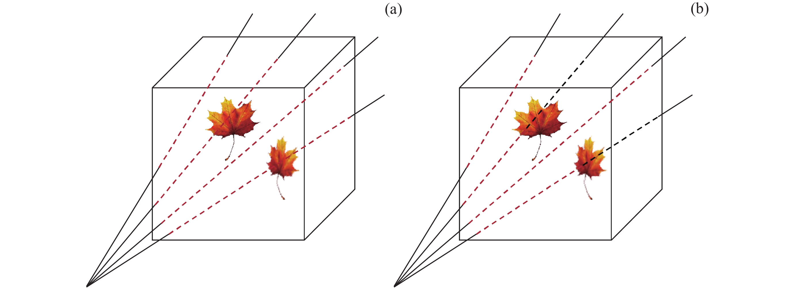
Leaf Area Index (LAI) is a key parameter that characterizes the structure of vegetation canopies, and the indirect measurement of LAI has always been an important research topic in vegetation remote sensing. Terrestrial Laser Scanning (TLS), with its efficient and precise three-dimensional observation capability, has been widely used for LAI estimation. At the same time, TLS provides possibilities for the inversion of more refined leaf area parameters, such as the three-dimensional distribution of Foliage Area Volume Density (FAVD). This paper reviews the main methods for retrieving leaf area parameters based on TLS from a methodological perspective, discussing their advantages, limitations, and influencing factors. The indirect measurement of leaf area parameters based on TLS can be classified into four categories: the gap fraction-based method, the contact frequency-based method, the computer graphics theory-based method, and the ecophysiological model-based method. These methods differ in theoretical foundations, data organization, etc., and are suitable for the retrieval of various leaf area parameters at different scales. Among them, the mainstream approach currently relies on the measurement and analysis of gap fraction, and it has evolved into three categories based on different forms of point cloud organization: 2D images, pulses, and voxels. Methods based on contact frequency, computer graphics theory, and ecophysiological models are also emerging, providing new avenues for leaf area parameter inversion and can be further optimized to improve the accuracy and efficiency of LAI estimation. Existing methods have basically covered the inversion of various leaf area parameters at different scales. From stand-scale LAI to more refined individual-tree-scale Vertical Foliage Profile (VFP) and voxel-scale FAVD, leaf area parameter inversion based on TLS continues to advance in a refined and three-dimensional direction. In this process, clumping effects, non-uniform path lengths, and occlusion effects are important factors that affect measurement accuracy and require further research and calibration.
Forest Canopy Height Mapping Based on Multi-source Remote Sensing Data
TIAN Zhenpeng, ZHOU Wei, YUAN Jingyi, LIU Xiaoqiang, YE Su, POUDEL Krishna, HIMES Austin, RENNINGER Heidi, WANG Jiaxin, MA Qin
2023, 43(6): 1176-1193. doi: 10.11728/cjss2023.06.2023-0074
Abstract:
Accurate estimation of spatially continuous forest canopy height is crucial for quantifying forest carbon stocks, understanding forest ecosystems, and making forest management and restoration policies. Spaceborne Light Detection and Ranging (LiDAR) can measure forest canopy height over laser footprints at semi-global the coverage, which provides a promising data source for estimating forest canopy height at national to global scales. This study used the random forest regression method to map forest canopy height by fusing Ice, Cloud and land Elevation Satellite-2 (ICESat-2) Advanced Topographic Laser Altimeter System (ATLAS) measurements and Landsat-8 images, combined with terrain and climatic features, and other data to generate forest canopy height products of the maximum (Hmax) and mean height (Hmean) values at 30 meter resolution across Mississippi State of America in 2020. The results show that the mean and standard deviation of Hmax in forest area is 24.14 m and 4.24 m respectively. For the Hmean, the mean and standard deviation of Hmean in forest area were 12.04 m and 2.59 m respectively. The estimated Hmax and Hmean across Mississippi agree well with airborne measurements (Hmax: $ {R}^{2} $ = 0.486, $ {H}_{\mathrm{R}\mathrm{M}\mathrm{S}\mathrm{E}} $ = 4.532 m; Hmean: $ {R}^{2} $ = 0.467, $ {H}_{\mathrm{R}\mathrm{M}\mathrm{S}\mathrm{E}} $ = 2.848 m). In this study, the difference and ratio of the maximum and average values of canopy height were used to reflect the vertical structure complexity of the forest canopy. The differences of different geographical divisions, forest types, planted forests and natural forests were compared, and it was found that the complexity of loess hilly areas, deciduous forests, wetland forests and natural forests in the study area was higher. In addition, the canopy height mapping scheme proposed in this study for non-mountain plantations is of guiding significance for forest management, species diversity conservation and “carbon neutrality” assessment in the in the Yangtze River Delta and other areas dominated by non-mountain planted forest of China.